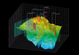
Creatingspatialdata: stereo models, 3D models, digital terrain features models,orthophotoplanes, large-scale topographic plans
Photogrammetricprocessing
Thematic analysis
Data processing of remote sensing, geoinformation analysis
Thematicanalysis
Cartography
Creation of digital topographical, thematic, special maps and plans of various scales
Cartography
The Earth remote sensing data (ERS)
Supply and processing of the Earth remote sensing data
The Earth remote sensing data (ERS)
How to place an order
Formulate your task
Let us know the details
Sign a contract
Get the data
Application areas
Oil and gas industry
Geology and mining
Telecom
Forestry
Agricultural industry
Ecology and environmental conservation
Land use and territory management
Emergency situations
Energy industry
Water management
Cartography
Defense and geospatial intelligence
About the company
The Limited Liability Company “Space Data Center “Horizont” (LLC “SDC “Horizont“) carries out its activities in the field of geoinformation technologies and aerospace monitoring.
The main activity of the company is the supply and photogrammetric processing of the Earth remote sensing data, the creation of digital cartographic products for various purposes.
LLC “SDC “Horizont“has the necessary production, personnel, scientific and technical capacity. The quality management system of LLC “SDC“Horizont” meets the requirements of GOSTR (State Standart System)ISO 9001-2015
The company's goal is to become a reliable and long—term partner in the development of your company.
News
Order
Fill in the information to place an order or contact us
By clicking the button“Order”, you accept the terms of the Privacy Policy and Personal Data Processing